The Future of GEOINT: Big Data and Geospatial Analytics
Download HEAVY.AI Free, a full-featured version available for use at no cost.
GET FREE LICENSEIt is often said that 80% of data has a spatial component. Sometimes it is a coordinate gathered from a GPS application, or simply an address that gets geocoded to a location along a street centerline. In any case, it is surprisingly easy to get the location of an object. With moving objects, location and time are important to track the object along with any other relevant attributes (temperature, angle, size, color, etc.) As sensors and devices become more and more connected, data is being collected at an extraordinary rate. From where people tweet to battlefield sensor information, data is not the limiting factor to modeling but, the systems that we use to model are. How do you capture the right data to drive actionable intelligence without arbitrarily dropping critical information? The answer is GPU-accelerated geospatial analytics.
Leveraging Geography for Smarter Outcomes
Geography is making a comeback. No longer relegated to dusty textbooks, geography is emerging as the critical science driving a revolution in data. When looking for patterns, trends and inflection points in data, where something is in relation to something else is important. For example, geospatial data can be leveraged to determine what areas are most critical to a mission’s success and to identify how risks can be mitigated. Geospatial data are not just locations, however. Geospatial data also track how things are connected and where they are in relation to other objects. Knowing how an object changes over time in relation to other objects can provide critical insights. For example, how do truck maintenance recommendations change based on where a truck is located and how it is driven in the field? Using all of your information to drive smarter maintenance schedules saves money, time and resources.
Infrastructure GIS
Traditional Geographic Information Systems (GIS) build and maintain geographic infrastructure. Buildings, roads, poles, rivers, city boundaries, wells and field boundaries are examples of this. They are fairly fixed in a specific location with associated attributes that can change. These geospatial features change mainly in a known workflow. Changes in ownership or control of an area, a new utility network designed and built, a new road, the designation of a new hazardous waste site, etc. create new geospatial infrastructure and are created in a known process. This data is critical as the base of an automated world. With the leap in technology collecting data in space and time, traditional GIS data created the foundation upon which spatiotemporal data can build upon. Now with GPU-accelerated tools from OmniSci, you can leverage foundational map infrastructure data to analyze, visualize and activate all your changing geospatial data in ways never possible before.
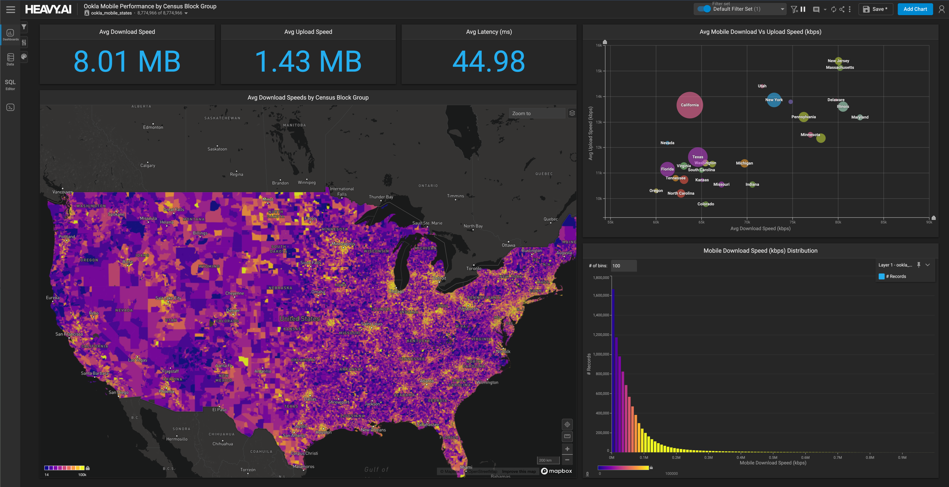
Gamechanger - Geospatial Analytics and Big Data
When looking at geospatial data, the relationship between objects is important. Clustering, connectedness and nearness are critical and must take into account 3D and time. While this makes intuitive sense, it is much more difficult to do, in part because of the complexity of geospatial data. Leveraging machine learning and AI to solve the problem can work if geographic principles are embedded correctly. OmniSci provides core geospatial analytics natively in the platform so users can quickly discover new insights. Not only can extremely large (billions of records) geospatial datasets be ingested and visualized extremely fast, but analytics can also identify key geospatial trends, patterns and insights.
The simple process of visualizing large organizational data on a map can provide tremendous insight. Adding analytics using both time and location can be a gamechanger. Automatically adjusting cell towers based on near real-time demand, identifying pipeline maintenance prior to a leak, and knowing equipment maintenance requirements based on actual usage, location, and more, can all be done as part of the new real-time workflows. Now asset changes can be part of your geospatial analytics quickly, making decisions more timely and relevant. During emergency situations, decisions must be made in seconds. During normal operations, faster decisions can save time and money. In either case, tapping into the power of geospatial data is part of the new workflow powered by big data analytics.
Don’t leave valuable data out of your GEOINT analysis by using the wrong tool. Meet OmniSci at the GEOINT 2019 Symposium at booth 1526 to learn how OmniSci’s GPU-accelerated platform can power your GEOINT workflows. Hear OmniSci CEO Todd Mostak present a lightning talk on “Accelerating Geospatial Intelligence with GPU-Accelerated Analytics” on Monday, June 3 at 3:20pm. Today’s missions demand quick and powerful information. OmniSci provides the platform and you provide the data…all of your data.