Celebrate GIS Day
Download HEAVY.AI Free, a full-featured version available for use at no cost.
GET FREE LICENSEGeospatial has its own day! GIS Day is when we celebrate geospatial accomplishments and innovations from the year. It is a day to share, understand and appreciate the work that thousands of geospatial experts contribute across industries and continents. Never has this work been more critical. From enabling autonomous cars to modeling climate change, geospatial technology is critical to our future. At OmniSci, we celebrate the rich history of GIS Day and are passionate about taking it to the next level. We believe in the power of accelerated geospatial analytics to change the world. Geospatial is not just special, it is the rocket fuel that will drive understanding. With understanding, we can take action!
Geospatial Analysts Day
GIS Day provides an opportunity to highlight the work of the Geospatial Analysts. Often working in the backroom or cubical, these professionals work tirelessly to automate, manage and share geospatial data, models, and maps. The keepers of geospatial knowledge at an organization, this critical role is too often underappreciated. Their value is brought to light during a crisis when maps, geospatial models and data integration is critical. With these folks in mind, we are working to make geospatial ubiquitous. Building a platform to accelerate understanding and empower geospatial analysts enables geographic thinking as part of the core of problem-solving.
What if geospatial capabilities were available with just a press of a button giving you answers as quickly as you can ask the question? That is a vision of GIS that is possible today. Without having to downsize datasets, questions can be asked and answered in real-time. Siloed data can be combined based on geography. New questions can be answered with the plethora of new data being gathered from satellites, drones, and IoT devices. By combining geography with cutting edge technology, geospatial analysts are not constrained. What will geospatial analysts discover as they start to explore?
Explore Our World
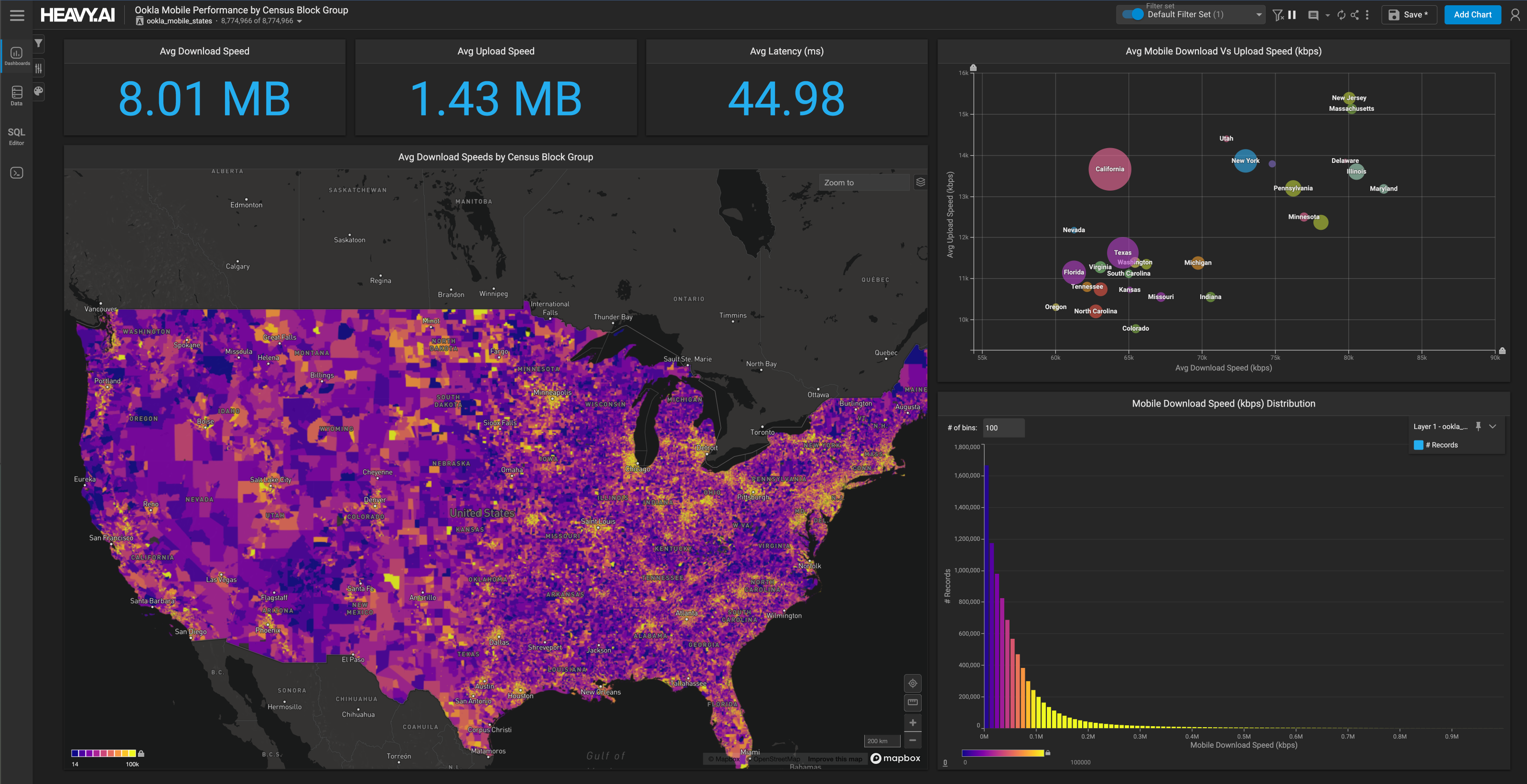
Take a test drive in the fast lane with accelerated analytics. Our interactive demos are in the Cloud, simple to use and live. They demonstrate how publicly available data combined with fast visualization and analytics can change how you solve problems. Here are a few to explore:
- Opioid Epidemic - See the crisis on a map! Click on your state to see which cities had the most claims. Then cross-reference it by the specialties prescribing the most opioids. Further drill-down to the top prescribers instantly.
- TweetMap - You may have seen a map with tweets before but not this fast! Look for your favorite hashtag and see where folks are tweeting. For more serious exploration, look for terms your organization is tracking to see if a geographic pattern pops out.
- Political Donations - With the political season approaching, you can explore donations by location and organization. Select an area and see the donation mix. Thinking for running for office? See historical trends for fundraising.
Check out our full demo suite including oil & gas well production, airline delays, and shipping traffic.
GIS Day 2.0
GIS is evolving. Having built the foundational infrastructure of cities, countries, networks and more, GIS prime transforms into a central component and analytics. While companies and organizations debate what this is called and even have attempted to lay claim to the movement, at OmniSci we know that geospatial and temporal data will be critical for a better understanding of our world. Call it GIS, GEOINT, Location Intelligence, geomarketing, or geospatial, we can’t wait to see what you will be doing next year. When siloed departments, organizations, people and countries work together for a better place, we all benefit.
If you are interested in learning more about OmniSci, please contact us. We are passionate about data and analytics and would be honored to discuss how our analytics platform can take your GIS to the next level.